I was going through my ideas files when I ran across an 1834 map with details about the Erie Canal from various local communities. It turned out I had already written about the maps themselves for Albany, Watervliet, and Schenectady – but that’s okay, because what I really wanted to emphasize was the incredible, simple beauty of this hand-drawn brush and ink map. The NYS Archives only lists these as the Canal Commissioners’ maps, with no known credit for the actual creator or creators. That’s a shame, because while these are very accurate maps, they are also true works of art.
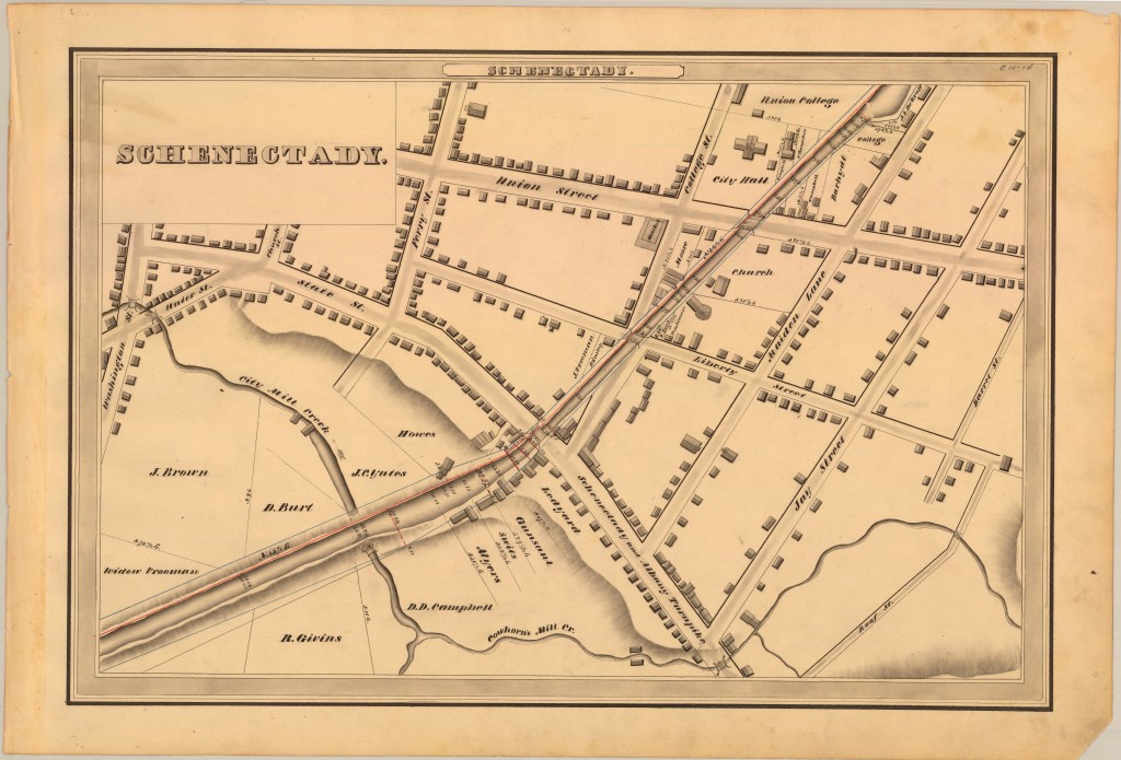
Here’s the map for where the canal passed through Schenectady:
Petition to make this lovely profile/shadow lettering the official logo of Schenectady:

And just look at this lettering – I’m uncertain if it’s an incredible italic nib or expert brushwork:


And these lovely little bridges over some local kills:


Then there’s this depiction of a kill being carried underneath the canal – and a footbridge as well:

The perfect simplicity of the artist’s buildings:


The overall look of the thing:

And then, the greatest arrow in the history of cartography:

Leave a Reply