Our views of history are, to be certain, shaped by our perspectives. Whatever background we come from, whatever origin stories we tell about ourselves and our families inform our understanding of the events the past. And to an extent, even our training and careers can inform what we learn, and create interesting perspectives to share.
The Geological History of New York State (New York State Museum Bulletin 168, 1913) presents an interestingly extreme example of this: a geologist’s view of the battles of Saratoga. This was written by a Rudolf Ruedemann, who noted that anyone who studies the region with an interest in history and geology could not fail to be impressed by the close relationship between the two:
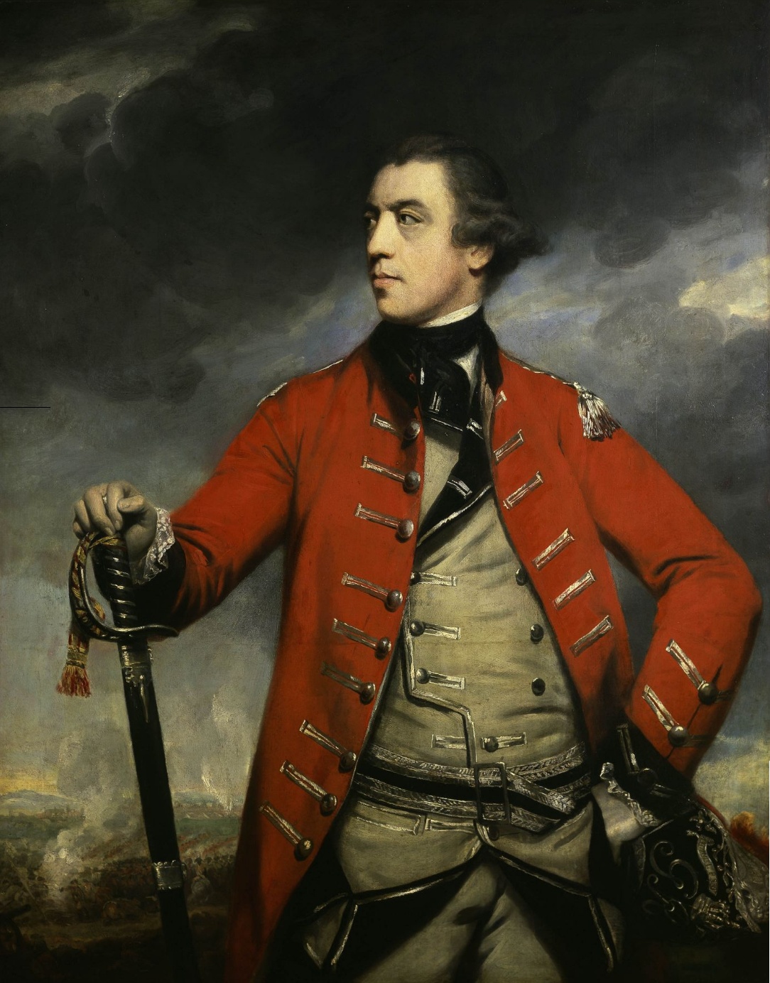
Burgoyne had two routes to reach the Hudson river and thereby Albany, his objective point: namely, first, the deep depression extending from Whitehall to Fort Edward and caused largely by the downfaulting of the Ordovicic rocks at the eastern base of the Adirondacks and, second, the fault basin of Lake George. He selected the former and entered the swamp region of Wood creek, following this creek with its immature swampy drainage up toward the Hudson. Here it was extremely easy to impede his progress by cutting trees and throwing them across the road, an opportunity of which the Americans made the fullest use. Burgoyne wasted months of valuable time and his best energy and provisions in these swamps of glacial origin. When he finally reached the Hudson he followed it on the east side until he found the place where at Thomson the river falls over a ridge of harder Normanskill shale below which a bridge could be easily built. After crossing he was again forced to the river bank by the only road available, while deep ravines cut into the thick clays of Lake Albany made excellent opportunity for a defensive position for the American army. Such a position was selected at Bemis Heights.
On the other side of the river towers Willard mountain, an erosion remnant due to the hardness of the grits and cherts of Normanskill age that compose the syncline. From this bold mountain every movement of the British army could be easily seen by the patriot Willard and signaled to General Gates.
After his defeat, Burgoyne retreated leisurely and sullenly up the river. Hessian officers advised him to leave his cannon and baggage behind and save the army by a forced retreat by way of Lake George, but the obstinate though brave general decided to return by the crossing at Thomson, allowing by his slow and undecided action the Americans to overtake him and, in using the peculiarly favorable topography of the locality, which is due to its remarkable geology, to prepare a trap for him. The most important feature of this topography is that just above the Thomson crossing a volcanic rock, known as the Northumberland volcanic plug, juts out prominently toward the river, so that it has complete command of the crossing and at the same time prevents an army from passing under it at the west bank of the river. This important strategic point was occupied by Colonel Stark. It, and Fellows’s batteries which could be advantageously placed on the bluffs of Albany clay on the opposite bank of the river, were, with Morgan’s sharpshooters in the woods to the west of the army, the principal means of forcing Burgoyne to surrender. Thus we see that the peculiar combination of a ford over a shale ridge, a volcanic rock close by and bluffs of clay aided greatly in bringing about the decisive victory of Saratoga.

Leave a Reply